paragliding weather intelligence
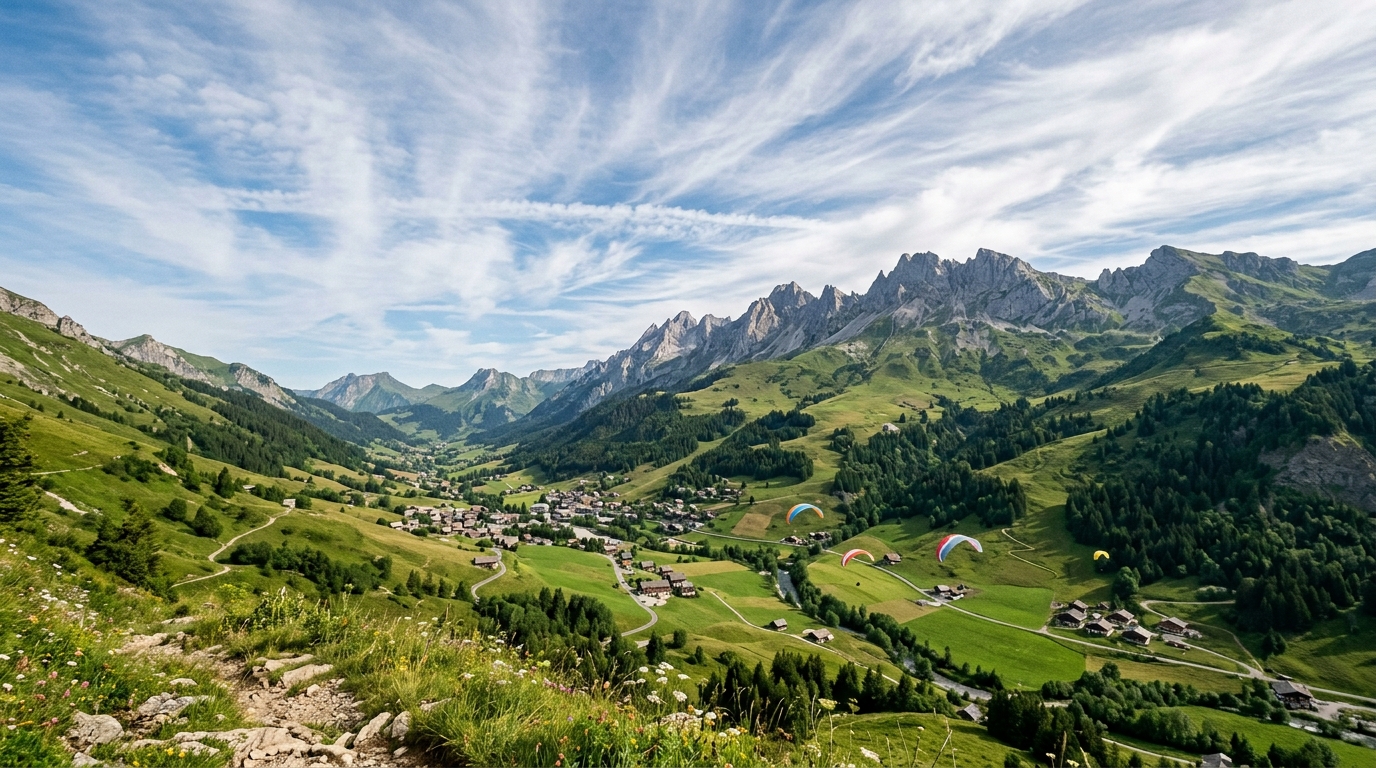
🏔️🪂 Le Grand-Bornand, Aravis massif, Northern French Alps
updated: 2026-07-25T04:00:00Z
FOEHN ANALYSIS (ECMWF):
• Pressure gradient (Milan - GB): +1.7 hPa at 10:00, decreasing to -3.2 hPa by 19:00. Never reaches Südföhn threshold (3 hPa).
• 700 hPa wind: S-SW 25-44 km/h, peaking 14:00 (44 km/h 202°). Foehn-capable but no pressure gradient to drive it.
• 850 hPa wind: Weak 4-9 km/h — foehn NOT breaking through to surface.
• T-Td spread: 11-14°C midday (dry air), dropping to 4°C by 18:00 (moistening ahead of storms).
• Gradient reverses after 16:00 → Nordföhn tendency late evening.
GENERAL FORECAST (10:00-19:00 local):
• Temperature: 18-23°C (ECMWF coolest, GFS warmest)
• Surface wind: Light 2-11 km/h, variable SW-NW. Valley funneling N-S.
• Gusts: GFS 4-11 km/h, ICON up to 44 km/h (ridge influence)
• CAPE: Near 0 at 10:00 → 700-900 J/kg by 16:00-17:00. Storm risk late afternoon.
• Precipitation: ECMWF 1.9mm 15:00-18:00. GFS/ICON mostly dry.
• Cloud cover: High cirrus building to overcast 13:00-14:00 (ECMWF), clearing after 16:00. GFS shows mid cloud clearing midday. ICON variable.
• 500 hPa: 43-49 km/h SW jet (moderate)
PARAGLIDING ASSESSMENT:
• FOEHN STATUS: 🟡 WATCH
• VERDICT: MARGINAL
• Window: 10:00-12:00 only
• Stay below 2000m — avoid cloudbase where 700 hPa S-SW flow creates turbulence
• On the ground by 13:00 before 700 hPa wind peaks (44 km/h) and storms build
• Risks: 1) Ridge-level turbulence from 40+ km/h S-SW at 700 hPa, 2) Thunderstorm development after 15:00 (CAPE 800+), 3) High cloud overcast kills thermals 13:00-14:00, 4) Late gradient reversal